Le Guide du Pays Basque
Discover our other guides

To discover around

Click here to activate the interactive map


You will also like
We tested for you
Venta Peio, the best shopping centers on the Basque border

66 m
The best photo spots in the Basque Country

4,5 km
What to do in the Basque Country in autumn?

4,5 km
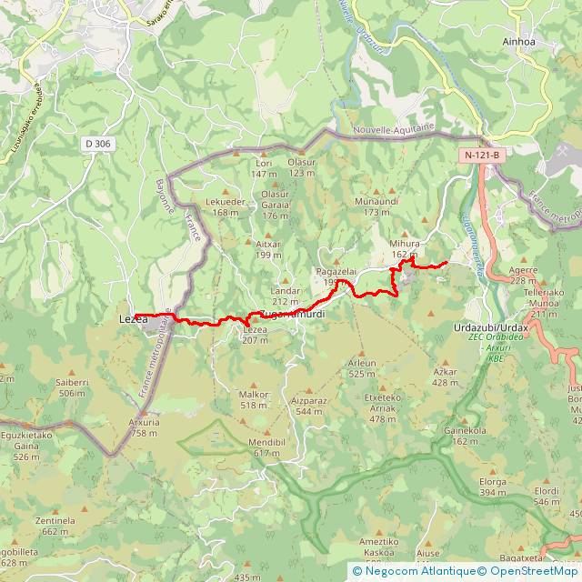
Ainhoa: Hawthorn Chapel hike

4,5 km
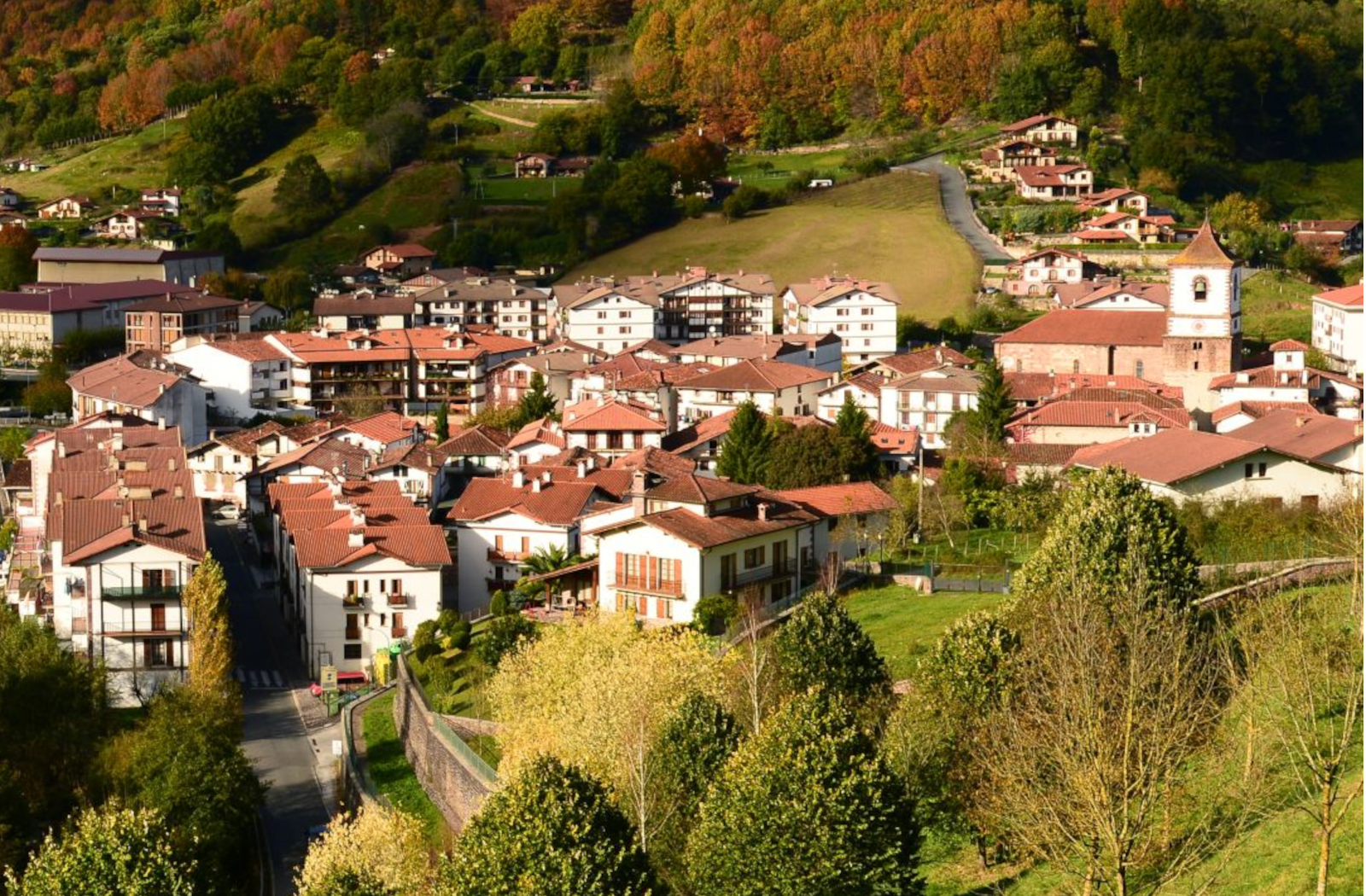
Experience the best of Navarre with Baztan Bidasoa Tourism Elkartea
7,2 km
La Rhune and its Little Train

8,1 km
The Basque Cake Museum

8,1 km
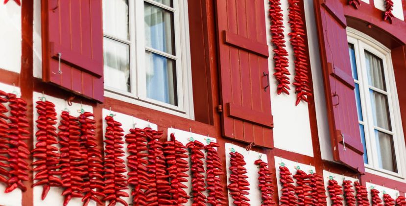
La fête du piment d'Espelette, the must-see village festival!
9,4 km